A recorded boundary line on a coastal deed rarely marks where you are legally permitted to build. When property owners plan a footprint expansion, an added second story, or an oceanfront pool deck, they quickly discover that coastal shoreline setback regulations measure from dynamic natural features rather than static survey pins. The distance between the water and your home is governed by shifting tides, seasonal wave wash, and historical erosion rates that dictate exactly how much of your parcel remains buildable.
The Certified Shoreline Versus Your Legal Property Boundary
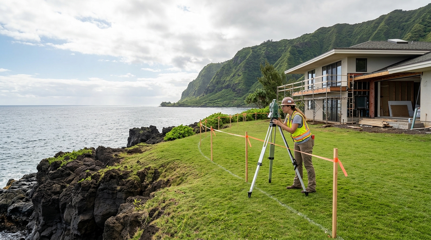
Every oceanfront parcel has two distinct boundaries: the legal boundary recorded on the tax map and the certified shoreline established by state environmental authorities. A recorded boundary remains fixed on paper, but the ocean does not honor fixed coordinates. Regulatory agencies measure building setbacks from the upper reaches of the wash of the waves, usually evidenced by the line of debris, flotsam, or the seaward edge of stable terrestrial vegetation. To pull building permits for any exterior remodeling project within a coastal zone, you must hire a licensed surveyor to locate this vegetative or debris line in the field. State land surveyors then review and certify that measurement, establishing an official baseline for your property. A certified shoreline determination generally remains valid for twelve months. Because winter surf, storm surge, and sand movement continuously alter the beach profile, a line certified three years ago is useless for today’s permit application. If coastal erosion has pushed the high-water wash farther inland since your home was originally constructed, your legal lot may still show the same square footage on the tax roll, but your private buildable area has contracted. Building authorities require you to surrender that lost depth, pushing any new construction further back into the lot.
How Coastal Shoreline Setback Regulations Define Building Envelopes
Coastal shoreline setback regulations do not apply a single uniform distance to every parcel. While jurisdictions typically maintain a fixed minimum buffer of 40 or 60 feet from the certified shoreline, many coastal counties now enforce variable setback formulas tied directly to local erosion rates. Under an erosion-based formula, the regulatory setback equals a base buffer plus the annual coastal erosion rate multiplied by a specific planning horizon, typically 50 to 70 years. If your shoreline retreats by an average of six inches each year, a 70-year horizon adds 35 feet to the statutory baseline. On a shallow parcel, an extended setback can push the permitted building envelope halfway across the property, colliding directly with front-street setback requirements. These restrictions dictate the exact horizontal and vertical perimeter for any new construction. Understanding how local zoning ordinances interact with parcel depth is just as critical as reviewing how zoning rules limit building footprints on coastal land. When you evaluate an existing structure for renovation, you must determine whether the planned addition sits within the legal building envelope or encroaches into the protected shoreline buffer.
Remodeling Nonconforming Structures Along the Water
A significant percentage of older oceanfront residences sit partially or entirely inside modern shoreline setback areas. These homes are classified as legal nonconforming structures. They were built in compliance with the codes in effect at the time of construction, but they could not be built in that exact location today. You can typically repair, maintain, and cosmetically update a nonconforming oceanfront home without altering its physical location. However, major structural remodeling triggers rigorous municipal thresholds, most notably the substantial improvement rule. If the total cost of your renovation equals or exceeds 50 percent of the home’s market value, county planning departments often require the entire structure to come into full compliance with current coastal codes. When you cross that valuation threshold, you cannot simply replace the ocean-facing walls where they stand. The county will require you to move the expanded portion, or the entire building, behind the current setback line. If you plan to acquire an older oceanfront parcel to reconfigure, review verified property boundaries and buildable depth using our coastal property acquisition portal before submitting an offer. The table below outlines how common coastal remodeling projects typically interact with shoreline regulations:
|
Project Scope |
Setback Permitting Impact |
Regulatory Requirement |
|---|---|---|
|
Interior Remodel (Kitchen, Bathrooms) |
Minimal |
Standard building permits; structural footprint remains untouched. |
|
Lanai or Deck Expansion Toward Ocean |
High |
Must sit entirely behind the certified shoreline setback line. |
|
Second-Story Addition |
Moderate to High |
Permitted if within the existing footprint, provided the project stays below the 50 percent substantial improvement threshold. |
|
Swimming Pool Installation |
Strict |
Permanent inground structures are strictly prohibited within the shoreline buffer area in almost all jurisdictions. |
|
Seawall or Revetment Repair |
Extreme |
Requires state environmental review, conservation district permits, and public hearing processes. |
Permitting Jurisdictions and Coastal Zone Review
Coastal construction requires clearance from multiple regulatory agencies before a standard building permit is issued. In most coastal states, oceanfront parcels fall within a designated Special Management Area (SMA) managed under coastal zone management programs. SMA rules ensure that private development does not accelerate coastal erosion, compromise public shoreline access, or destroy coastal dune systems. Minor SMA permits are required for relatively small renovations that sit outside the active buffer, while major SMA permits require public notices, environmental impact assessments, and formal county planning commission approvals. In addition, any work that touches the certified shoreline or involves beach nourishment crosses into state-administered conservation districts. Reviewing the title record during escrow will reveal whether prior owners entered into conditional permits, variance agreements, or shoreline access easements. Taking time to review how the preliminary title search protects your investment ensures you do not inherit unpermitted shoreline alterations that previous owners added without state approval.
Steps to Take Before Finalizing Coastal Remodel Plans
Before spending capital on architectural renderings, complete the practical diligence that governs your physical parcel:
-
Order an updated boundary survey to confirm where your legal property pins sit relative to the water line.
-
Hire a licensed coastal surveyor to map the current vegetation and wave-wash debris line to begin the certified shoreline application.
-
Review the county coastal erosion rate maps for your specific beach sector to calculate your anticipated variable setback distance.
-
Obtain an independent structural appraisal of the existing dwelling to establish its baseline value under the 50 percent substantial improvement rule.
-
Confirm whether your jurisdiction allows shoreline setback variances for hardship, and check the timeline required to schedule a planning commission hearing.
Taking these steps early prevents costly design revisions and keeps your project grounded in what the physical site legally permits. Planning a coastal renovation requires moving beyond deed lines to analyze the dynamic regulatory boundary of the ocean. If you are preparing to purchase an oceanfront home with plans to renovate, our team can help you review building envelopes, local erosion benchmarks, and parcel depth before you commit your capital on our buyer services platform.